



Automated Processing and Analysis of Data
Overview
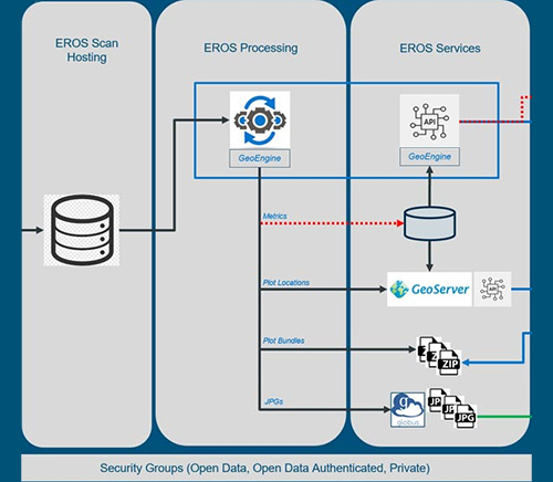
TLS data from monitoring protocols is processed automatically by the IntELiMon pipeline, managed by USGS EROS. EROS handles large-scale storage and processing, allowing field TLS scans to be uploaded, processed, and archived with metadata. The initial phase generates structural metrics from 3D point cloud data, which are used with field data for machine learning predictions of tree and fuel attributes. Results are available via IntELiMon Viewer.
TLS files require significant storage and computing resources. EROS can support thousands of scans and provides access through the interactive IntELiMon viewer.
Onboarding
Sites and plots must be registered to use IntELiMon. A standard onboarding protocol ensures proper access, and completion is required before uploading.
View the Onboarding SOP
Data collection
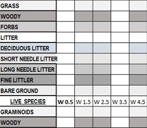
Tier 1 Data Sheet
The Tier 1 protocol requires the use of a 10-factor prism to collect basal area data and a single terrestrial lidar scan.

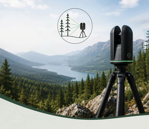
Collecting TLS data in the field
Tier 2 Data Sheet
The Tier 2 protocol was created with traditional monitoring in mind. This involves taking a scan at plot center, collecting transect data, recording overstory data including the tree species and how many as well as using a ten-factor prism to obtain basal area. The purpose of these techniques is to link the lidar data to traditional fuel metrics. These data are necessary to develop linear models which determine that relationship between this physical data and those values reported from the point cloud analysis.
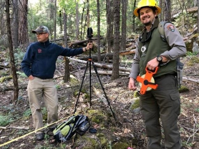
Data collection is fun!
Included on this page are data sheets developed for use in the Southeast and the Southwest. These can be modified depending on the needs of the location.
Once initial baseline (Tier 2) plots are established, only Tier 1s will be required.