

The website will be offline from Wednesday the 23rd of September 2026 at 8:00 AM to Wednesday the 23rd of September 2026 at 12:00 PM for maintenance. We apologize for any inconvenience this may cause.

Training

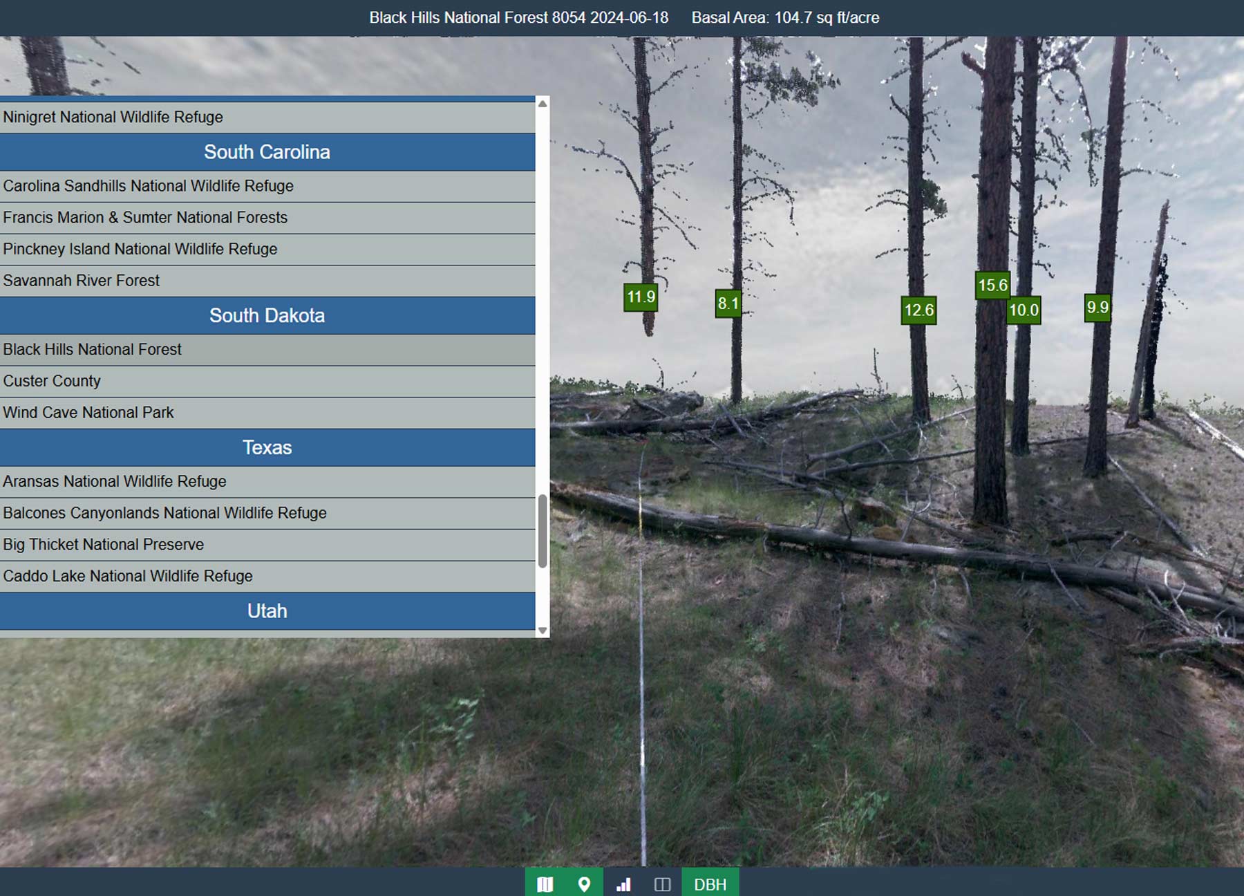
Points2Pano interface

Training Overview

The Terrestrial Lidar Monitoring Project team has developed training modules to support consistent data collection methods, analysis, and interpretation of lidar data for wildland fire monitoring and research.

Class Information

These modules were designed in collaboration with the National Advanced Fire Institute (NAFRI). Training is primarily delivered in person, based on organizational needs and the availability of instructors. In addition, field collectors and data managers have the option to access training modules online via the Wildland Fire Learning Portal (WFLP). Those who receive in-person training from core team members are certified to train others in TLS monitoring methods.
Field Training
Field Training

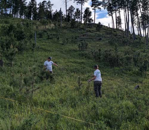
This module provides technical training focused on field data collection and initial data processing. Participants receive an in-depth explanation of field protocols, learn to use Survey123, offload data from the laser equipment, and upload data to EROS. The training also includes hands-on experience with FieldMaps and Survey123.

Data Manager Training

This module is designed for data managers responsible for facilitating the data required for plot collection. The training covers plot creation protocols, the setup and maintenance of FieldMaps and Survey123s used by field technicians, and the processing of tier 2 data for use by Data Analysts. Participants are encouraged to be familiar with ArcGIS Pro and Excel, and to have some experience with AGOL, such as publishing hosted feature layers. Recommended preparatory training courses are available for this course.

Get Training
Get Training

If you are interested in participating in training, please use our contact form.