



What is Lidar?
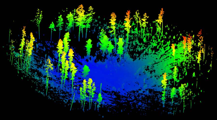
Lidar (light detection and ranging) is an active remote sensing technology that creates three-dimensional maps by emitting light pulses and measuring their return times. It generates detailed environmental data quickly, capturing thousands of spatial points per second.
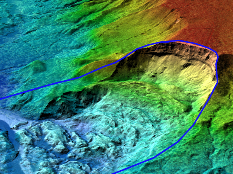
Lidar data can be collected via terrestrial laser scanning (TLS), using tripod-mounted units for precise local measurements, or airborne laser scanning (ALS) for broad landscape analysis. ALS estimates tree canopy metrics and finds cultural resources, while combining ALS and TLS enables comprehensive environmental studies.
Both methods are more reliable and consistent than traditional monitoring, reduce bias, and support standardized protocols. Advancements allow for repeated analysis to track landscape changes.
Terrestrial Laser Scanning Advantages
TLS uses lasers to collect accurate, repeatable, and quantitative data about forest conditions, streamlining and standardizing monitoring. The system records millions of point locations efficiently, giving land managers precise metrics for assessing forests and informing decisions.