



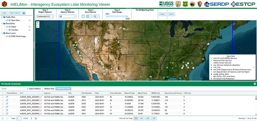
IntELiMon (Interagency Ecosystem Lidar Monitoring) Viewer
Viewer: https://dmsdata.cr.usgs.gov/lidar-monitoring/viewer
The IntELiMon Viewer allows users to view and download processed TLS data, metadata, and the results of the processing and analyses. Quality control/quality assurance and metadata management are built into the data workflow.
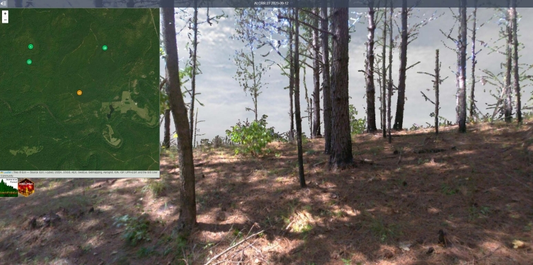
Points2Pano
Points2Pano is an Immersive Forest tool by UCSDs WIFIRE lab. RGB colored point clouds submitted to IntELiMon are projected into a spherical raster and displayed on the Points2Pano website. Plots can be viewed by scan date, and qualitative comparisons can be made.