

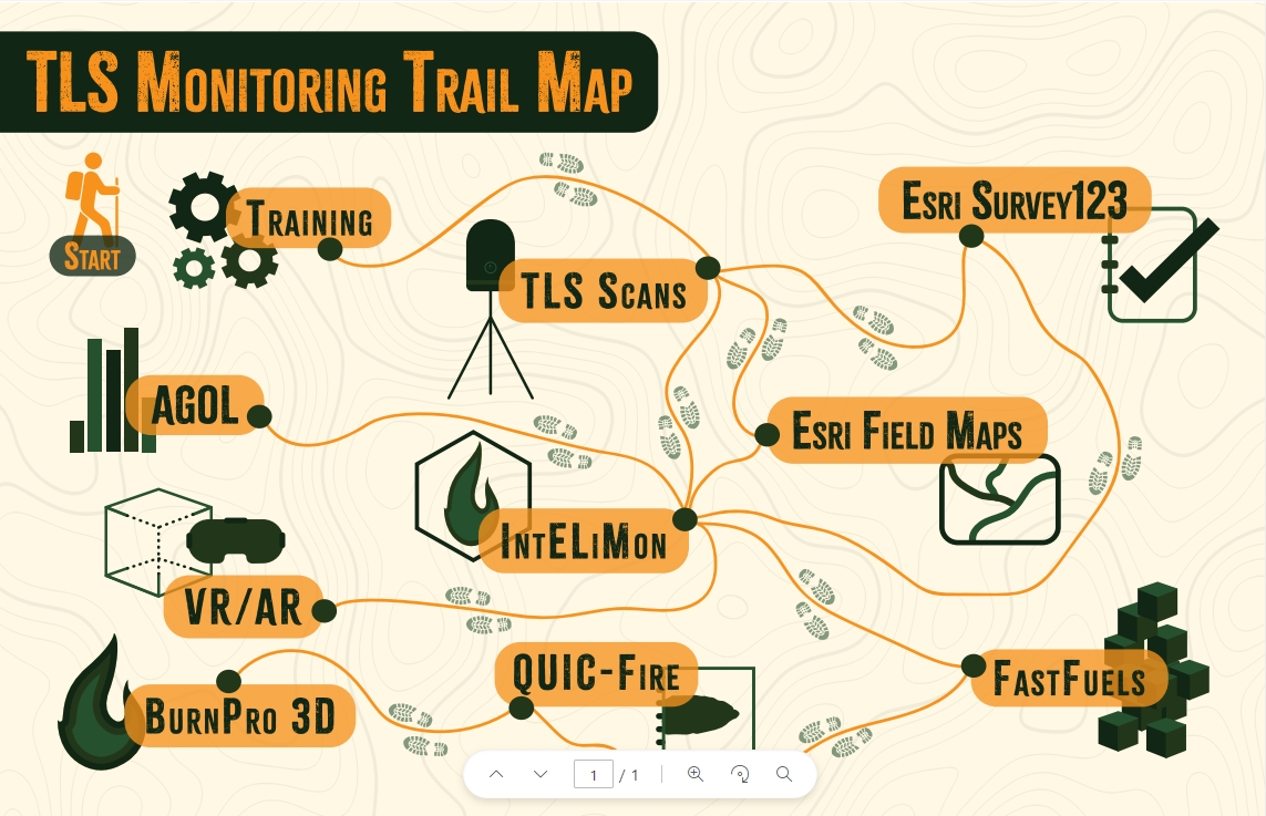
Training
Class Information
Our team has developed a series of training modules to facilitate data collection, analysis and interpretation of LiDar data. These classes have been developed in partnership with the National Advanced Fire Institute (NAFRI). Training is delivered via in-person depending on need and instructor availability. Alternatively, field collectors and data managers can access the training modules online on the Wildland Fire Learning Portal (WFLP). Individuals that have received in-person training from core team members are certified to train others in the TLS monitoring methods.
Training Modules
TLS Field Technical Training
The class is for technical training on field data collection and initial data processing. This training is an in-depth explanation of how to effectively perform the field protocols, use Survey123, offload data from the laser, and upload data to EROS. Individuals will gain experience using FieldMaps and Survey123.
TLS Data Analysis and Modeling
This class is for training data managers who will facilitate the data necessary for plot collection. This includes plot creation protocols, creating and maintaining FieldMaps and Survey123s used by field technicians, and processing tier 2 data for the Data Analyst to use. It is recommended that participants have a working knowledge of ArcPro and Excel, along with some experience using AGOL (i.e. publishing hosted feature layers). There are recommended trainings available for this course to help prepare.
Training Contact:
Tim Yurkiewicz, USDA, National Interagency Prescribed Fire Training Center. timothy.yurkiewicz@usda.gov