Applications
IntELiMon Viewer:
The IntELiMon Viewer serves as a dashboard for users to access the processed TLS data, metadata, and the results of the processing and analyses. Quality control/quality assurance and metadata management is built into the data workflow.
Viewer: https://dmsdata.cr.usgs.gov/lidar-monitoring/viewer

Points2Pano
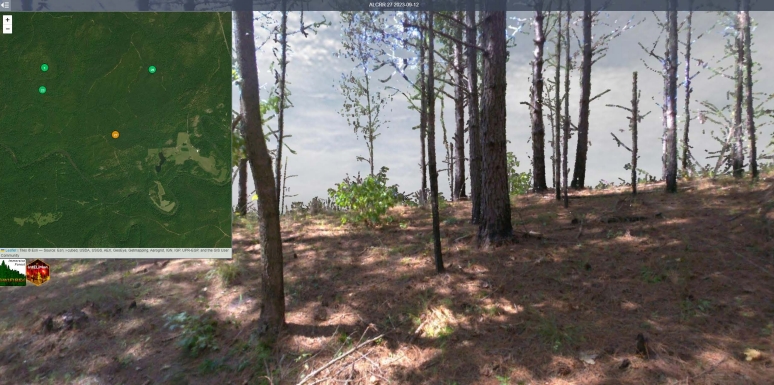
Points2Pano is an Immersive Forest tool by UCSDs WIFIRE lab. RGB colored point clouds submitted to IntELiMon are projected into a spherical raster and displayed on the Points2Pano website. Plots can be viewed by scan date and qualitative comparisons can be made.